Best of the
Best
Editors' picks and our top buying guides


Best of the
Best
Editors' picks and our top buying guides
Latest

Briggs & Stratton's Newest Home Battery Offers Modularity at a Good Price
56 minutes ago
Best iPad Drawing Apps to Try in 2024
56 minutes ago
I'm Ditching Extra Baggage Fees on My Next Trip, With These Products
1 hour ago
Over 60 of the Best Star Wars Gifts for 2024: Top Picks From Across the Galaxy
2 hours ago
The 8 Best Coffee Subscriptions of 2024, Tested by Us
2 hours ago
May the Fourth Deals Be With You This Star Wars Day
2 hours ago
Every Cool Thing Announced for Star Wars Day 2024: From Funko to Limited-Edition Loungefly
3 hours ago
The Best Apple Cider Vinegar Drinks to Get Your Daily Fix
3 hours ago
These 1-Minute Microwaved Poached Eggs Are a Brunch Hack for the Ages
4 hours ago
NBA Playoffs 2024: How to Watch Magic vs. Cavaliers Game 7 on ABC
4 hours ago
You Have Until May 8 to Snag Verizon's 5-Year Internet Service Price Guarantee
4 hours ago
Best Android VPN for 2024
4 hours ago
Switching Phone Carriers in 2024: What to Know Before Changing Providers
4 hours ago
Best Mac VPN for 2024
5 hours ago
Every Day, Savings: Join CNET's Daily Text for Deals Under $50
5 hours agoMore to Explore
Reviews, advice and more from CNET's experts.


Get the best price on everything CNET Shopping helps you get the best prices on your favorite products. Get promo codes and discounts with a single click.
Add to Chrome - it's free!
Our Expertise
Expertise Lindsey Turrentine is executive vice president for content and audience. She has helped shape digital media since digital media was born.
0357911176
02468104
024681025
Tech


Upgrade your inbox
Get CNET Insider
From talking fridges to iPhones, our experts are here to help make the world a little less complicated.
Money


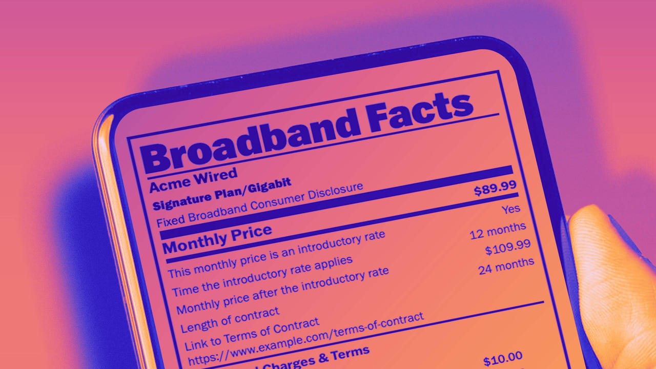
Crossing the Broadband Divide
Millions of Americans lack access to high-speed internet. Here's how to fix that.


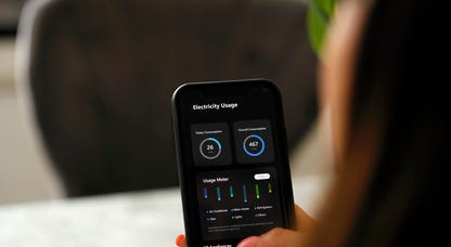
Energy and Utilities


Deep Dives
Immerse yourself in our in-depth stories.


Get the best price on everything CNET Shopping helps you get the best prices on your favorite products. Get promo codes and discounts with a single click.
Add to Chrome - it's free!
Internet


Sleep Through the Night
Get the best sleep of your life with our expert tips.


Get the best price on everything CNET Shopping helps you get the best prices on your favorite products. Get promo codes and discounts with a single click.
Add to Chrome - it's free!
Tech Tips
Get the most out of your phone with this expert advice.


Get the best price on everything CNET Shopping helps you get the best prices on your favorite products. Get promo codes and discounts with a single click.
Add to Chrome - it's free!

Home


Living Off Grid
CNET's Eric Mack has lived off the grid for over three years. Here's what he learned.