Google offers first looks at GeoEye-1 imagery
Google, which is buying GeoEye's high-resolution imagery for online maps, is starting to offer a taste of images from the company's newest satellite.


- Shankland covered the tech industry for more than 25 years and was a science writer for five years before that. He has deep expertise in microprocessors, digital photography, computer hardware and software, internet standards, web technology, and more.
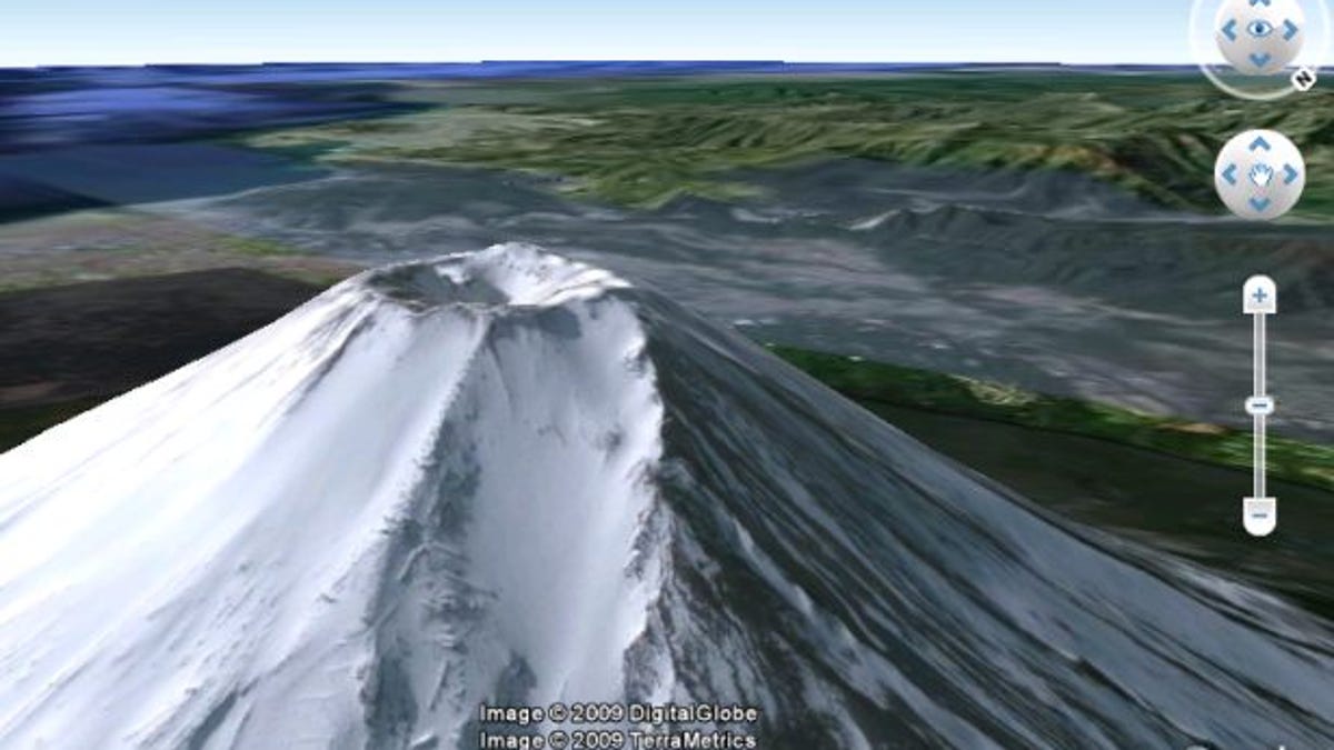
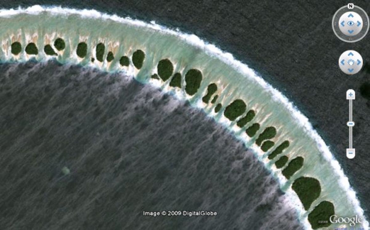
Google has begun offering the first high-resolution imagery from the GeoEye-1 satellite it helped sponsor--but only as an optional layer in Google Earth for now.
"In the coming months you will start seeing stunning GeoEye-1 imagery blended into our database and viewable through Google Earth, Maps, and Google Maps for Mobile," said Dylan Lorimer, strategic partner manager; and Jacob Schonberg, associate product manager, in a Google Lat Long blog post Wednesday.
Until then, some shots can be viewed by downloading add-on imagery for Google Earth from Google's GeoEye-1 preview site, they said. Because Google Earth now works as a plug-in to some browsers, the full Google Earth application doesn't need to be installed to get a taste. Clicking the thumbnail images in the film strip on the page will launch the in-browser version.
GeoEye launched the satellite in September and plans to launch another with a higher-resolution camera in 2011. However, U.S. government limits the resolution of the images Google shows to details measuring half a meter. GeoEye shared a view of President Barack Obama's inauguration and other teaser images.