Google Earth updates maps of Mars
Mars' antique maps and latest streaming satellite images now viewable in Google Earth.


There is now a lot more about Mars to view in Google Earth than there was just a month ago.
Google announced Friday a major update to show more details of Mars both in its history and the present day. Originally the 3D maps of Mars were available with the release of Google Earth 5.0, just a little more than a month ago. The update shows how our knowledge of Mars, and our study of astronomy, has evolved over time.
According to Google, the new update allows us to travel back in time to see the antique maps originally drawn by astronomers Giovanni Schiaparelli, Percival Lowell, and others. It also show present-day Mars with a "Live from Mars" layer, which is a continuous stream of the latest imagery, including those from NASA's THEMIS camera aboard the Mars Odyssey spacecraft.
Users can have the feel of flying along with Odyssey as well as the Mars Reconnaissance Orbiter to see what the two crafts have been observing lately and where they are headed next.
Without having used the original release of Mars 3D map, I tried the new update and loved it. After selecting Mars from the toolbar in Google Earth, I could do a 3D flight around the Red Planet.
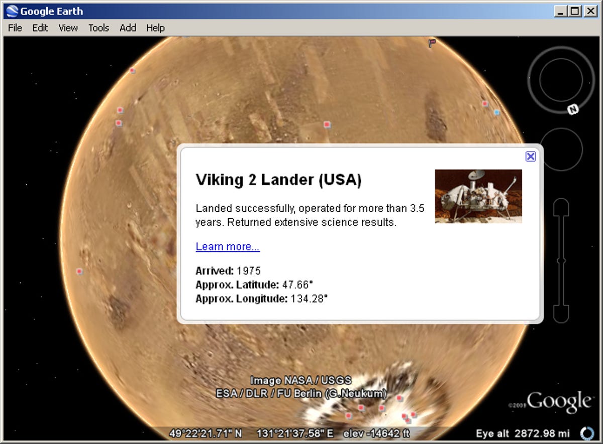
The new update now makes the surface of Mars covered with informational layers, imagery, and terrain. I could also zoom in and out, change the camera view, or click on icon to read more about certain locations and events, most of which I didn't know that they exist before.
What I haven't been able to find, however, is Dr. Manhattan's girlfriend, Silk Spectre, but that would probably take more than just one update.
Click here for more stories, and images, on Google Earth 5.0.