Best of the
Best
Editors' picks and our top buying guides


Best of the
Best
Editors' picks and our top buying guides
Latest

Wolves vs. Arsenal Livestream: How to Watch English Premier League Soccer From Anywhere
25 minutes ago
This Magic Kitchen Bin Turns Chicken Bones and Food Scraps Into Dirt Overnight
52 minutes ago
Boston Dynamics' New Electric Atlas vs. Tesla's Optimus
03:15 • 55 minutes ago
Best Amazon Deals: Get Huge Discounts on Tech Gadgets, Home Goods and More
1 hour ago
Save 15% Off Houswise's Fire Pits and More
1 hour ago
Child Tax Credit Update: Where Is Your Refund?
1 hour ago
Yoga Can Save Your Sleep. Here Are 9 Poses to Try Tonight
1 hour ago
Best Treadmills of 2024
1 hour ago
Earth Day Deals 2024: Save Some Green on Eco-Friendly Tech, Home and Beauty Products
2 hours ago
Watch FA Cup Semifinal Soccer: Livestream Man City vs. Chelsea From Anywhere
2 hours ago
Best Outdoor Home Security Cameras for 2024
2 hours ago
Best VPN for Windows
3 hours ago
Lifetime Access to Microsoft Project Professional 2021 Is Just $20 This Weekend Only
3 hours ago
Get Cozy With 15% Off Sitewide During Buffy's Earth Day Sale
3 hours ago
Google Pixel 9 and 9 Pro Rumors: New Designs, Tensor G4 and a Pixel XL
3 hours agoMore to Explore
Reviews, advice and more from CNET's experts.


Get the best price on everything CNET Shopping helps you get the best prices on your favorite products. Get promo codes and discounts with a single click.
Add to Chrome - it's free!
Our Expertise
Expertise Lindsey Turrentine is executive vice president for content and audience. She has helped shape digital media since digital media was born.
0357911176
02468104
024681024
Featured in
Tech


Upgrade your inbox
Get CNET Insider
From talking fridges to iPhones, our experts are here to help make the world a little less complicated.
Featured in
Money


Crossing the Broadband Divide
Millions of Americans lack access to high-speed internet. Here's how to fix that.


Featured in
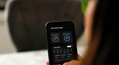
Energy and Utilities


Deep Dives
Immerse yourself in our in-depth stories.


Get the best price on everything CNET Shopping helps you get the best prices on your favorite products. Get promo codes and discounts with a single click.
Add to Chrome - it's free!
Featured in
Internet


Sleep Through the Night
Get the best sleep of your life with our expert tips.


Get the best price on everything CNET Shopping helps you get the best prices on your favorite products. Get promo codes and discounts with a single click.
Add to Chrome - it's free!
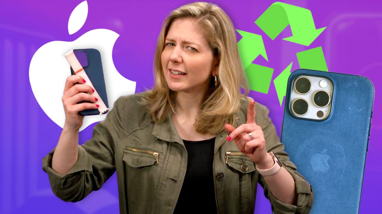
Tech Tips
Get the most out of your phone with this expert advice.


Get the best price on everything CNET Shopping helps you get the best prices on your favorite products. Get promo codes and discounts with a single click.
Add to Chrome - it's free!

Featured in
Home


Living Off Grid
CNET's Eric Mack has lived off the grid for over three years. Here's what he learned.