The president has signed into law legislation that would effectively ban TikTok unless its Chinese parent company sells it. Here's what's next.
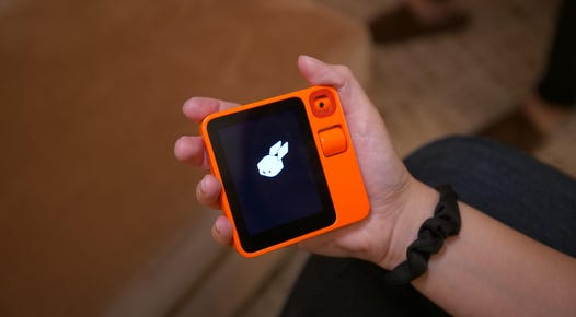
The device's creator says it can learn to operate apps on your behalf. Imagine requesting an Uber or ordering takeout by simply pressing a button and speaking your request.
The tech giant is building lightweight AI that's more power-efficient and can run on PCs and phones.
Gift giving just got more delicious.
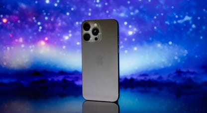
The iPhone is poised to make a foray into gen AI in 2024. Here's what's flying around in the iPhone 16 rumor mill.
The future of TikTok is a bit fuzzy. Here are similar apps to give your attention to.
For some Americans, smartphones are the only source of internet they can afford. But advancements in wireless networks could hopefully change that.
Game Pass Ultimate and Core subscribers can access more games now.
Want the fastest data possible? Check out our picks for the best 5G phones out there.
From foldables to new phones from Samsung, Google and Motorola, these are the best Android phones of 2024.
With a wide selection of fiber providers, most Greenwood residents have great options for home internet.
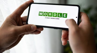
Here are some hints, and the answer, for April 25, Wordle No. 1041.
Check out the best multivitamins for filling nutrient deficiencies in your diet, chosen by our experts.
Check out the best California King mattresses from the best brands around, tested by our experts.
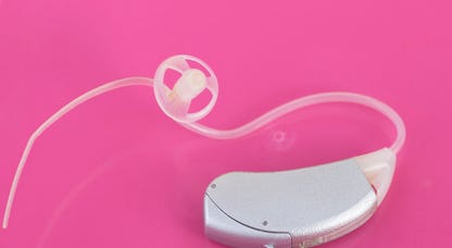
If you’re in the market for a good pair of hearing aids, you have to check out these great over-the-counter options.
Experts say that commercial milk remains safe to consume. But what are health officials doing to protect the milk supply, and what about raw milk?
Chatbots may sound human, but they don't think the way we do.
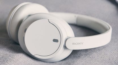
Looking for a new pair of Sony headphones? These are our top picks for 2024.
Everything you need to know about sustainability.
Learn to better navigate our digital world.
A dive into the infinite complexities.
The next stage in the internet's evolution.
Creating independence for everyone.